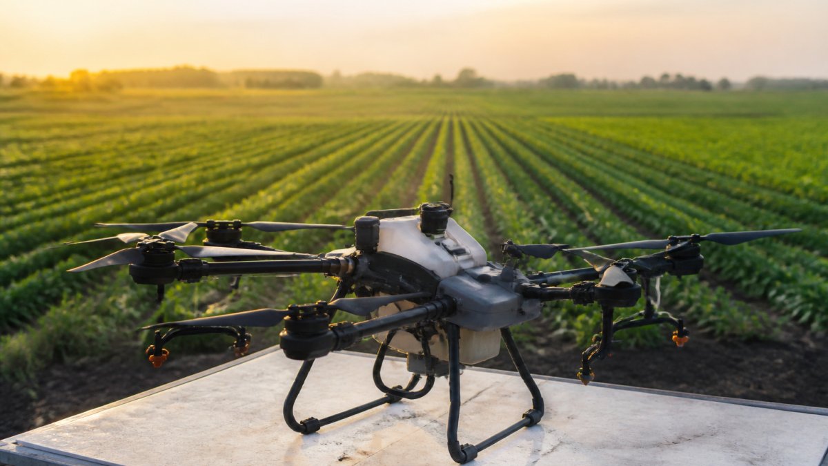
UAV Technology Advancements in Agriculture 2026
Table of Contents
- UAV Technology Advancements Reshaping Modern Agriculture
- How to Choose Agricultural Drone Sensors for Your Operation
- Multispectral Imaging for Crop Health Assessment
- Fixed-Wing vs. Multi-Rotor Platforms: Which Works Best
- Agricultural Drone Regulatory Compliance and Legal Requirements
- Precision Agriculture Applications: From Crop Planning to Livestock Surveillance
- ROI and Cost-Benefit Analysis for Agricultural UAV Investment
- Frequently Asked Questions
Last Updated: September 30, 2026
UAV Technology Advancements Reshaping Modern Agriculture
Agricultural drones have fundamentally transformed how farmers approach precision agriculture and crop management. UAV technology advancements in agriculture 2026 represent a quantum leap from the experimental platforms of just five years ago. Today's systems deliver high-resolution imagery, real-time analytics, and autonomous flight capabilities that were simply impossible at scale before.
Farmers now deploy UAVs for spectral analysis, livestock surveillance, and countless other tasks that once required ground scouting or expensive manned aircraft.
Better sensors, longer flight endurance, regulatory clarity, and proven ROI drive adoption. The real question is which platform and sensor combination matches your operation.
How to Choose Agricultural Drone Sensors for Your Operation
Selecting the right sensor suite depends on three factors: what you're trying to detect, how often you need to detect it, and what your existing data infrastructure can handle.
Spectral Analysis and Detection Accuracy
Multispectral sensors capture near-infrared wavelengths invisible to human vision, revealing plant stress before visible symptoms appear, unlike standard RGB cameras.
Detection accuracy matters: 85% accuracy wastes time scouting healthy areas, while 95% accuracy saves fuel, chemicals, and labor.
Most agricultural UAVs offer multispectral (4-5 bands) or RGB-only sensors. For most growers, multispectral paired with good processing software delivers needed accuracy without hyperspectral's premium cost.
Flight Endurance and Payload Capacity
Flight time constrains coverage: 25-minute flight covers ~100-150 acres; 45-minute flight nearly doubles that.
Payload capacity determines sensor options: multispectral cameras weigh 300-400g; adding thermal sensors pushes 600-800g. If you need multiple sensors simultaneously, verify platform payload capacity.
Larger platforms with longer flight times and heavier payloads cost more and require more maintenance; smaller platforms sacrifice endurance and sensor flexibility.
Multispectral Imaging for Crop Health Assessment
Multispectral imaging provides quantified, repeatable crop health data that tracks changes over time, replacing subjective field assessments.
NDVI and Real-Time Analytics
NDVI (Normalized Difference Vegetation Index) measures near-infrared to red light ratio, correlating directly with plant vigor. Healthy plants reflect more near-infrared; stressed plants reflect less.
Real-time NDVI mapping lets you fly in the morning and have actionable insights by afternoon. Most platforms generate color-coded maps automatically, showing exactly where crop stress exists or is developing.
Instead of walking hundreds of acres, you review a map highlighting exact problem areas, shifting scouting from guesswork to targeted intervention.
Fixed-Wing vs. Multi-Rotor Platforms: Which Works Best
The platform choice matters as much as the sensor choice. Fixed-wing and multi-rotor drones solve different problems and excel in different scenarios.
Multi-rotor platforms dominate agriculture: they hover for precise positioning, land in tight spaces, and are intuitive to fly. For operations under 500 acres, they deliver everything needed.
Fixed-wing platforms sacrifice hovering for endurance and efficiency, covering 1,000+ acres per flight. For large-scale operations, this advantage is substantial, but they require more landing space, technical skill, and upfront cost.
Most operations benefit from multi-rotor platforms' accessibility and flexibility. Fixed-wing systems make sense only when flight endurance becomes limiting.
Agricultural Drone Regulatory Compliance and Legal Requirements
Operating an agricultural UAV without understanding regulations creates liability and legal exposure exceeding equipment value.
FAA Part 107 and Operational Requirements
FAA Part 107 governs all commercial drone operations. Your operator must pass the Part 107 exam and maintain currency through recurrent training every 24 months.
Part 107 requires visual line of sight, prohibits flying over people or moving vehicles, restricts night flight, and limits altitude to 400 feet AGL. Most agricultural field scouting fits comfortably within these rules.
Operations near populated areas, crossing property lines, or at night require FAA waivers. As of 2026, the FAA processes these through the standard waiver system, with approval typically taking 60-90 days.
CALL Clear Focus Imaging TODAY →
EPA and State-Level Agricultural Input Application Rules
If you're using a UAV to apply agricultural inputs, fungicides, insecticides, herbicides, or fertilizer, you enter a different regulatory domain. The EPA regulates pesticide application, including aerial application. The FAA regulates the aircraft. Both apply simultaneously.
For pesticide application via UAV, the EPA requires a licensed applicator. Licensing requirements vary by state; verify requirements through your state's Department of Agriculture.
Some states impose buffer zones around sensitive areas and require advance notification to neighbors before aerial application. Violations result in fines or license loss.
Insurance and Liability Coverage
Insurance is non-negotiable: standard farm liability policies explicitly exclude unmanned aircraft. A UAV accident creates financial exposure not covered by typical policies.
Specialized drone insurance includes hull coverage (aircraft damage) and liability coverage (third-party injury or property damage).
The 2026 Regulatory Outlook: Beyond Visual Line of Sight (BVLOS)
The FAA is expanding BVLOS (Beyond Visual Line of Sight) approval pathways for large-scale scouting, but operations currently require FAA waivers and additional safety measures like detect-and-avoid systems or operational restrictions.
Practical Compliance Checklist
- Pilot certification: Ensure your operator holds a current Part 107 certificate (or operates under a waiver if Part 107 doesn't cover your use case).
- State-level licensing: If applying agricultural inputs, verify your state's applicator licensing requirements and obtain the appropriate license.
- Insurance: Obtain specialized drone liability insurance with at least $1 million coverage. Confirm coverage includes your specific operations (crop scouting, input application, etc.).
- Property permissions: Get written permission before flying over neighboring properties. Document data ownership and usage rights in writing.
- Waiver planning: If your operation requires flying at night, over people, or beyond visual line of sight, begin the FAA waiver process early, approval typically takes 60-90 days.
- Record-keeping: Maintain flight logs, maintenance records, and insurance documentation. These are essential if an incident occurs or if you're audited.
Precision Agriculture Applications: From Crop Planning to Livestock Surveillance
UAV technology advancements in agriculture 2026 have expanded far beyond simple crop monitoring. Modern platforms now handle everything from pre-season field mapping to mid-season health assessment to post-harvest analysis.
Automated Scouting and Input Waste Reduction
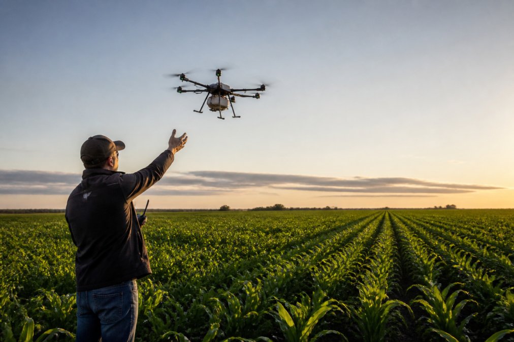
Automated scouting deploys UAVs on scheduled flight paths; processing software flags problem areas, letting you respond to data rather than search for problems.
Sustainable Farming and Data-Driven Decision Making
Data-driven farming and sustainable agriculture are the same goal: field-level data on crop stress, water status, and input response enables efficient decisions that reduce waste and costs.
ROI and Cost-Benefit Analysis for Agricultural UAV Investment
Does the investment pay? It depends on operation size, crop type, current practices, and your ability to act on UAV data. Realistic analysis requires specific cost and benefit breakdown.
Hardware, Software, and Operating Cost Breakdown
Aircraft and sensors: Multispectral platforms cost $15,000-$50,000; basic multi-rotor with RGB costs $8,000-$15,000; fixed-wing with multispectral costs $30,000-$60,000. Thermal sensors add $3,000-$8,000.
Insurance: Specialized drone insurance costs $500-$2,000 annually.
Data Integration and Farm Management System Compatibility
Integrating drone data into existing farm management workflows is a hidden cost. Drone data should enhance your FMS, not replace it.
- Export drone data in compatible formats: Drone software outputs GeoTIFF or shapefile formats; your FMS must accept these or you need a conversion tool ($500-$2,000).
- Georeference and align data: Drone imagery must match field boundaries and existing maps; some FMS platforms handle this automatically, others require manual adjustment.
- Integrate with tractor telematics: Your tractor's guidance system must accept prescription maps from your FMS. Not all tractors support this; retrofitting can be expensive or impossible.
Calculating Payback Period: Three Realistic Scenarios
Scenario 1: Disease or pest pressure management (500-acre corn or soybean operation)
When to Own vs. When to Contract
Own a UAV if:
- Your operation is 300+ acres
- You have crop types vulnerable to disease, stress, or spatial variability (corn, soybeans, cotton, tree crops)
- You can act on the data, you have variable-rate application capability, irrigation control systems, or the ability to target inputs based on UAV findings
- You plan to fly 15+ times per season
- Your operation justifies the capital investment and ongoing costs
Contract with a professional service provider if:
- Your operation is under 300 acres
- You need aerial data only 2-4 times per season
- You lack the infrastructure to act on detailed geospatial data
- You want to evaluate whether UAV data improves your decisions before committing capital
- You lack a trained Part 107 pilot on staff
Professional aerial service providers can deliver multispectral imagery, NDVI analysis, and field reports for $300-$800 per flight, or $1,500-$3,000 per season for a typical farm. Services like Infrastructure Inspections and Real Estate Media also leverage aerial UAV capabilities for specialized applications. Contracting eliminates the capital investment and pilot training requirements, making it accessible for smaller operations or those testing the concept.
The Honest Assessment
Most operations with 300+ acres and crop types vulnerable to disease, stress, or spatial variability see positive ROI within 3-5 years if they can integrate drone data into their decision-making workflow and act on it consistently. Smaller operations or those with limited ability to respond to UAV-generated data may not achieve positive ROI from ownership; contracting with a service provider is more economical.
Frequently Asked Questions
What are the most significant UAV technology advancements for agriculture in 2026?
The major advancements include improved multispectral sensors for crop health monitoring, extended flight endurance platforms, autonomous flight systems with better detection accuracy, and enhanced data-driven farming capabilities. Fixed-wing and multi-rotor platforms now offer specialized solutions for different farm sizes and terrains. Real-time analytics and sensor fusion allow farmers to make faster, more informed decisions about targeted input application and resource management.
How do I choose agricultural drone sensors for my farm's specific needs?
Evaluate three key factors: spectral analysis capability (basic RGB vs. multispectral for detailed crop health), flight endurance and payload capacity relative to your field size, and detection accuracy for the specific crops you monitor. Consider whether you need NDVI analysis for nutrient stress, thermal imaging for irrigation planning, or livestock surveillance. Match the sensor suite to your farm's size, crop types, and budget constraints before selecting a platform.
Are there new FAA regulations impacting agricultural drone use in 2026?
Agricultural drone operations remain subject to FAA Part 107 rules, which require remote pilot certification, line-of-sight operation, and daylight-only flights. Operators must maintain current waivers for any operations beyond these standard rules. Always verify current FAA guidance before deploying UAVs, as regulatory requirements continue to evolve.
What is the ROI of investing in agricultural UAV technology?
ROI depends on farm size, crop type, and current practices. Precision agriculture with UAVs reduces input waste through targeted application, improves crop yield monitoring accuracy, and enables early pest or disease detection. Smaller operations may see ROI through reduced scouting time and better resource allocation. Larger farms benefit from geospatial data analysis and automated decision-making. Calculate your specific ROI by comparing current scouting costs, input waste, and yield losses against drone service pricing and the value of improved agronomic insights.
