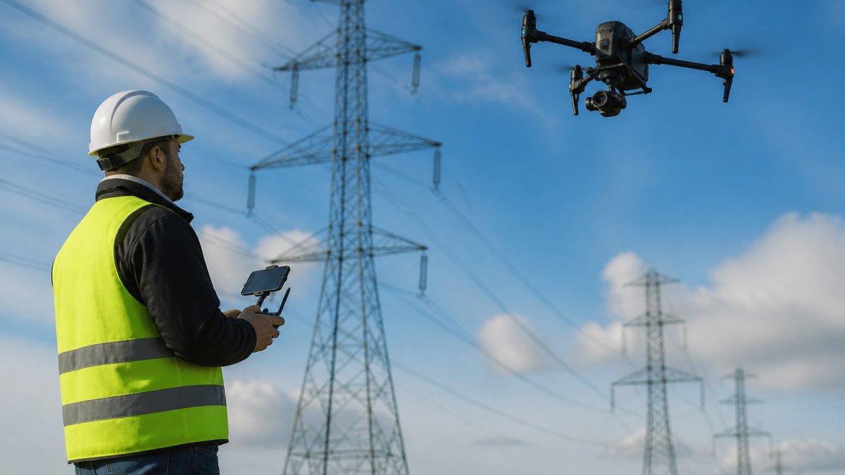
Drone Inspector: A Complete Career & Service Guide
Table of Contents
- What Is a Drone Inspector and What Do They Do
- FAA Part 107 Certification Requirements for Professional Drone Inspectors
- Best Drones for Industrial Inspection Work
- Drone Inspection Workflow: From Preflight to Data Analysis
- Drone Inspection Salary Expectations and Income Models
- Insurance, Liability, and Client Acquisition for Freelance Inspectors
- Frequently Asked Questions
Last Updated: October 2, 2026
What Is a Drone Inspector and What Do They Do
A drone inspector is a licensed professional who operates unmanned aerial vehicles to capture high-resolution imagery and data for infrastructure assessment, site documentation, and condition monitoring.
The role spans multiple industries: construction managers document project progress, real estate professionals showcase properties, agricultural operators assess crop health with thermal sensors, and facility managers examine roofing, solar installations, and cell towers without exposing workers to hazards.
What separates a drone inspector from a casual operator is regulatory compliance, professional-grade equipment, and systematic workflow discipline, understanding airspace rules, managing flight risk, processing sensor data into actionable intelligence, and delivering client-ready findings.
FAA Part 107 Certification Requirements for Professional Drone Inspectors
Operating a commercial drone in United States airspace requires federal authorization. The FAA Part 107 Remote Pilot Certificate is the foundation of legal professional drone work. Without it, you cannot legally accept payment for drone services.
Remote Pilot Certificate Essentials
The Part 107 certificate confirms you understand airspace rules, aircraft limitations, and safety protocols through a written exam at FAA-approved testing centers covering airspace classification, weather interpretation, aircraft performance, emergency procedures, and operational regulations.
You must be at least 16 years old and a U.S. citizen or permanent resident.
Your certificate is valid for 24 months and ties to your name, not to specific aircraft or company, so it transfers with you regardless of equipment or employment changes. Renewal requires retesting or completing an online recurrent training course.
Airspace Coordination and Safety Compliance
Before every operation, check airspace restrictions using the FAA's B4UFLY app or AirMap.
Part 107 requires visual meteorological conditions (VMC), clear enough to see your aircraft and ground. Most commercial drones operate safely in winds under 25 mph; exceeding that creates stability and control issues.
Professional drone inspectors maintain detailed flight logs documenting date, location, duration, weather, and incidents. These logs protect you legally, help identify operational risk patterns, and satisfy insurance requirements.
Best Drones for Industrial Inspection Work
Choose aircraft based on inspection targets and sensor requirements. Consumer drones lack the durability and sensor flexibility industrial work demands; professional inspection drones prioritize reliability, interchangeable payloads, and redundant safety systems.
Sensor Payloads: Thermal, RGB, and LiDAR
Thermal imaging reveals heat signatures invisible to human eyes, detecting missing insulation, air leaks, roof defects, crop water stress, and overheating equipment before failure.
RGB (standard color) cameras capture high-resolution still images and video for real estate marketing, progress documentation, and visual assessment. Modern inspection drones mount 20-48 megapixel cameras weighing 300-600 grams.
LiDAR (Light Detection and Ranging) creates 3D point clouds for volumetric surveys, terrain mapping, and structural measurement.
Professional workflows combine multiple sensors in single flights, RGB video for documentation, thermal data for condition assessment, and LiDAR for dimensional verification, maximizing information value per flight hour.
Durability and Flight Performance Standards
Industrial drones must withstand repetitive use in varied conditions with strong frame design, sealed electronics, and weatherproof connectors. Reliability matters more than flight time, a stable 20-minute flight beats a 30-minute flight that crashes.
Professional drones feature redundancy in critical systems: dual GPS receivers for backup navigation, redundant IMU systems for stability, and return-to-home functionality with multiple failsafe modes for signal loss or low battery recovery.
Wind resistance is essential for industrial environments. Aircraft rated for sustained flight in 20-25 mph winds with gust resistance to 35 mph handle real-world conditions better than lightweight designs.
Drone Inspection Workflow: From Preflight to Data Analysis
Professional drone inspection follows a systematic process that begins before takeoff and continues long after the aircraft lands. This workflow ensures data quality, safety compliance, and client deliverables.
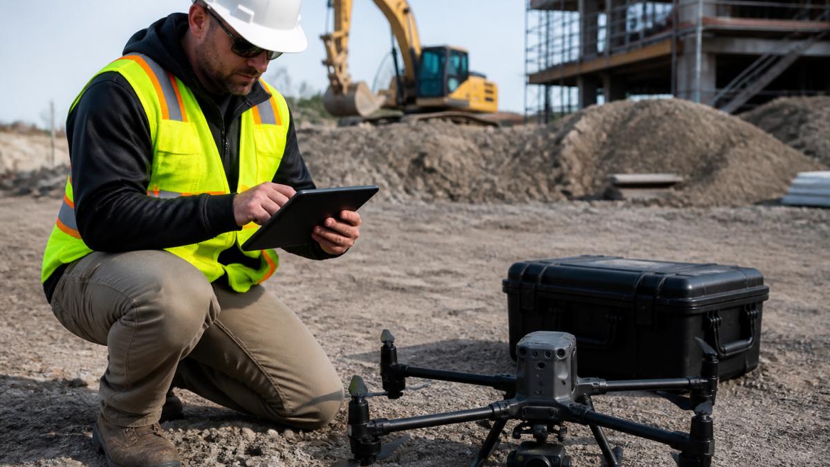
Preflight Checklist and Risk Assessment
Every flight begins with a structured preflight routine: check battery health and charge levels, inspect propellers for damage, verify gimbal and camera function, and confirm all connectors are secure and corrosion-free.
Check wind speed and direction at location and altitude using weather APIs, verify cloud ceiling and visibility, and assess precipitation risk. Understand the forecast, deteriorating weather mid-flight creates dangerous situations.
Identify obstacles (power lines, buildings, trees), locate bystanders, assess ground conditions, and document emergency landing areas in case of system failure.
CALL Clear Focus Imaging TODAY →
Post-Processing Software and Orthomosaic Generation
Orthomosaic generation is the standard deliverable, stitching hundreds of overlapping photos into a single georeferenced image using software like Pix4D, DroneDeploy, or Metashape.
Thermal orthomosaics require additional calibration for emissivity, atmospheric conditions, and surface reflectivity. Professional thermal analysis software applies these corrections to deliver accurate temperature maps.
3D modeling from photogrammetry creates point clouds and mesh surfaces.
Cloud-based reporting platforms aggregate processed data into client-facing deliverables with annotation tools, measurement capabilities, and version control accessible via web browsers.
Drone Inspection Salary Expectations and Income Models
Compensation for drone inspection work varies widely based on specialization, experience, and business model. Understanding income structures helps you plan financially and price competitively.
Hourly Rates vs. Fixed-Price Contracts
Hourly billing suits exploratory work, site surveys, damage assessments, and condition monitoring where scope is uncertain.
Fixed-price contracts suit well-defined projects with clear deliverables. Real estate photography, construction progress documentation, and repeatable work typically run $500-$3,000 per engagement depending on complexity and turnaround time.
Fixed pricing offers predictability but risks underestimating scope. Many professionals start with hourly rates, then transition to fixed pricing once they estimate scope accurately.
Retainer arrangements work for clients needing regular monitoring, golf courses, construction companies with ongoing projects, or facility managers tracking asset condition. These provide revenue stability and reduce sales overhead.
Industries with Highest Demand
Construction generates consistent demand for progress documentation, site surveys, and dispute resolution. Drone inspection work typically pays $200-$350 per hour or $1,500-$5,000 per project depending on site size and complexity.
Real estate remains a strong market. Residential agents use aerial photos to market properties. Commercial real estate professionals document building conditions and site layouts.
Infrastructure inspection, power lines, cell towers, bridges, water treatment facilities, commands premium rates because of specialized risk management.
Agricultural demand is growing. Farmers use thermal imagery to assess irrigation efficiency and crop health. Aerial surveys help with precision agriculture planning. Agribusiness companies need large-area mapping for resource management.
Insurance, Liability, and Client Acquisition for Freelance Inspectors
Professional liability insurance protects your business from claims that your work caused financial loss.
General liability insurance covers bodily injury or property damage your operation causes.
Many clients require proof of insurance before engaging your services. Maintaining current, adequate coverage signals professionalism and reduces client hesitation.
Pricing strategy affects client acquisition. Undercutting competitors might win projects initially, but it attracts price-sensitive clients and establishes low-value perception. Competitive pricing based on value delivered, faster turnaround, better data quality, more useful deliverables, builds a sustainable business. Clear communication about what you deliver and why it matters helps clients understand your value beyond hourly rate.
Professional drone inspection work combines technical skill, regulatory compliance, and business acumen. The FAA Part 107 certification establishes legal authority.
At Airborne Assets LLC, we've built our practice on delivering exceptional aerial intelligence across real estate, construction, agriculture, and facility management.
Frequently Asked Questions
How much do drone inspectors typically earn?
Earnings vary based on experience, location, and business model. Freelance drone inspectors often charge hourly rates or fixed-price contracts depending on project scope and client type. Those working for established inspection companies or in high-demand sectors like infrastructure and energy tend to earn more. Building a strong client base and specializing in profitable industries like construction site surveys and facility management inspections can significantly increase annual income for independent operators.
What is required to become a professional drone inspector?
You need an FAA Part 107 Remote Pilot Certificate, which requires passing the Part 107 knowledge test. You must be at least 16 years old, fluent in English, and have a valid government-issued ID. Beyond certification, you'll need quality equipment (a commercial-grade drone with appropriate sensors), insurance coverage, and practical experience with preflight checklists, airspace coordination, and data analysis software. Many inspectors also pursue specialized training in their target industry, such as thermal imaging for building inspections or LiDAR for infrastructure assessment.
What drones work best for industrial inspection tasks?
Industrial inspection drones should feature interchangeable sensor payloads, robust build quality, and extended flight time. Models supporting thermal imagery, RGB cameras, and LiDAR are ideal for capturing structural integrity data and defect detection across construction, energy, and infrastructure projects. Look for platforms with reliable telemetry systems, autonomous flight capabilities for consistent data accuracy, and compatibility with post-processing software that generates orthomosaics and 3D models. BVLOS (beyond visual line of sight) capability is valuable for large-scale site surveys.
Is a Part 107 certificate enough to work as a professional drone inspector?
The Remote Pilot Certificate is legally required for commercial operations, but it's not sufficient on its own. You'll also need liability insurance to protect against damage claims, proper business licensing, and practical expertise in your chosen industry. Many clients expect drone inspectors to understand how to interpret aerial data, generate reports, and communicate findings clearly. Building a portfolio of past projects and staying current with safety compliance standards strengthens your professional credibility and ability to win contracts.
