Alternatives to Manual Land Surveying for Agriculture
Table of Contents
- Why Farms Are Moving Away From Manual Land Surveying
- Drone Mapping for Precision Agriculture
- LiDAR Scanning and 3D Topographic Data
- GNSS and Real-Time Kinematic (RTK) Systems
- Cost of Drone Surveying vs Manual Surveying
- GPS Land Survey Accuracy Standards and Compliance
- Choosing the Right Alternative for Your Farm
- Frequently Asked Questions
Last Updated: October 1, 2026
Why Farms Are Moving Away From Manual Land Surveying
Manual land surveying, surveyors walking fields with chains, tape measures, and transit instruments, is slow, labor-intensive, and lacks the precision modern farming demands.
Precision agriculture now drives decisions around irrigation, fertilizer application, and crop yield optimization. Manual methods can't deliver the required speed or accuracy, a single survey takes days or weeks, while drone-based and LiDAR systems complete the same work in hours.
Below, we'll explore the main alternatives to manual land surveying and how to choose the right one for your operation.
Drone Mapping for Precision Agriculture
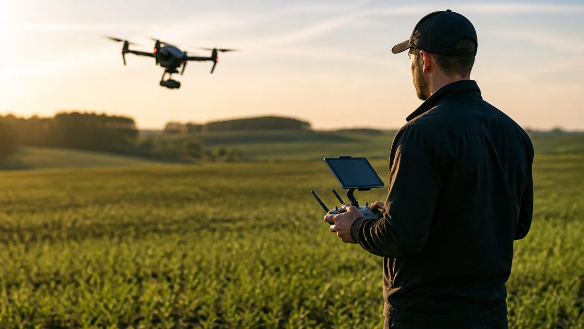
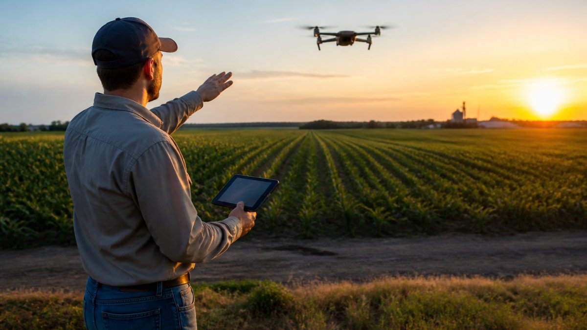
Drone mapping delivers orthomosaic maps in a fraction of the time manual surveying requires. A drone captures thousands of overlapping images, which specialized software stitches into a seamless, georeferenced map.
Drone mapping works well for most agricultural operations, delivering data accurate enough for crop health assessment, irrigation planning, and yield prediction. Multispectral imagery reveals plant stress invisible to the naked eye, showing where irrigation is uneven and where pest or disease pressure is emerging.
Setup takes a few hours; the drone flies 20-30 minutes per 100 acres, with processing taking 24-48 hours. Within days, you have detailed maps ready for integration with your farm management software.
Drone mapping requires clear weather and good lighting; cloud cover reduces image quality and wind above 15 mph makes flights difficult. In regions with frequent afternoon thunderstorms, plan surveys for early morning or stable weather windows.
LiDAR Scanning and 3D Topographic Data
LiDAR scanning uses laser pulses to create point clouds revealing terrain elevation with centimeter-level precision, building a detailed 3D model of your landscape.
LiDAR excels at mapping complex terrain with elevation changes, drainage challenges, or water management concerns, showing exactly where water flows and pooling occurs to guide tile drainage, terracing, and field layout decisions.
GNSS and Real-Time Kinematic (RTK) Systems
GNSS with Real-Time Kinematic corrections deliver sub-inch positioning accuracy. A base station transmits correction signals to mobile receivers, eliminating the accuracy drift that standard GPS introduces over long distances.
RTK systems excel for precise point-by-point measurement, establishing field boundaries, marking tile line intersections, or positioning equipment for variable-rate applications, delivering manual surveyor accuracy with less effort.
Set up a base station, calibrate it to known survey marks, then walk or drive your field with an RTK receiver. The system logs position continuously and exports data directly to farm management software.
RTK falls short in delivering area-wide context; it works best alongside drone imagery for visual context and LiDAR for terrain modeling.
Cost of Drone Surveying vs Manual Surveying
The cost equation has shifted dramatically in favor of automated alternatives to manual land surveying, but the financial case depends heavily on farm size, frequency of surveys, and whether you own equipment or hire services.
Manual Surveying Costs
Drone Surveying Service Costs Professional drone surveying services can offer a cost-effective alternative to manual methods. Pricing depends on project scope, required accuracy, and timeline.
Equipment Ownership vs. Service Model
Return on Investment Timeline Detecting irrigation problems earlier using drone imagery can prevent yield loss. RTK-guided variable-rate fertilizer application can reduce input costs.
For most operations, drone surveying services can offer a strong return on investment.
Hidden Cost Factors Manual surveying requires travel time and crew coordination. Drone surveying requires clear skies, which may delay surveys during rainy seasons. LiDAR penetrates cloud cover but costs more. RTK requires clear sky visibility, making it less reliable in dense tree cover.
Data processing and integration also carry hidden costs. Raw drone imagery requires software processing and integration into your farm management platform. Some platforms may charge fees for data storage or analysis. Budget for software and data management if you're not handling processing in-house.
CALL Clear Focus Imaging TODAY →
GPS Land Survey Accuracy Standards and Compliance
Accuracy standards vary by application. For crop management and irrigation planning, orthomosaic maps with 2-5 centimeter resolution are sufficient. For legal boundary surveys or property disputes, you need higher precision, typically sub-inch accuracy verified against official survey monuments.
The National Geodetic Survey maintains the National Spatial Reference System, which defines accuracy standards for surveying work across the country. Professional surveyors use NGSS benchmarks to calibrate their equipment and verify results.
For agricultural applications, most regulatory requirements don't demand the same precision as legal surveys. State and local conservation programs may require topographic data for erosion control or wetland management, but they typically accept drone-derived elevation models or RTK data rather than demanding expensive licensed surveys.
When managing surveying projects across multiple properties or coordinating with regulatory agencies, Infrastructure Inspections and Facility Management services help centralize documentation of accuracy standards and compliance requirements, ensuring nothing falls through the cracks.
Check with your local conservation district or state agricultural department before starting a major surveying project. They can clarify which accuracy standards apply to your specific work and which methods they accept for compliance documentation.
Choosing the Right Alternative for Your Farm
Selecting the right surveying method depends on three interconnected factors: your specific data need, your farm's physical characteristics, and your ability to integrate results into existing management systems. But before those technical criteria, you need to address a more fundamental question: what barriers exist to adoption on your operation?
Define Your Primary Data Need Start by identifying what decision you're trying to make. Are you mapping crop health variation to optimize irrigation or fertilizer application? Drone multispectral imagery is the fastest path to that answer. Do you need to understand how water moves across your fields to design drainage or terracing? LiDAR topographic data directly answers that question. Are you establishing precise field boundaries, equipment guidance lines, or variable-rate application zones? RTK positioning delivers sub-inch accuracy for those tasks.
The mistake many farms make is choosing a surveying method based on what's trendy rather than what solves their specific problem. A drone survey won't help you design a tile drainage system if you don't have elevation data. RTK won't show you where crop stress is emerging. Match the tool to the decision, not the other way around.
Assess Field Conditions and Operational Constraints Flat, open fields work well with drones. Fields with dense vegetation, tall structures, or significant tree cover may require LiDAR or ground-based RTK approaches. Terrain complexity matters too, if your fields have slopes steeper than 15-20 degrees, drone orthomosaics can distort at field edges, and you may need LiDAR for accurate elevation data.
Weather patterns create real operational constraints. If you're in a region with frequent afternoon thunderstorms or persistent cloud cover during your critical decision windows (spring for irrigation planning, mid-season for pest scouting), drone mapping becomes seasonal work. LiDAR penetrates clouds but costs more. RTK works in any weather but requires clear sky for satellite lock.
Field accessibility also matters. If your fields are remote, far from service provider bases, travel time increases costs. If you have limited road access or soft soil conditions that make vehicle traffic difficult, a drone service requires only a landing zone. Ground-based LiDAR or RTK requires field access for the operator.
Implementation Barriers for Small-Scale Operations Farms under 500 acres face distinct adoption challenges that larger operations don't. Service provider minimums often start at 100-200 acres per project, making single-field surveys inefficient. Equipment ownership doesn't make financial sense at small scale. Data integration requires farm management software, which adds subscription costs that represent a larger percentage of total farm revenue.
For small-scale operations, the most practical path is starting with a single drone survey from a local service provider to establish baseline data, then using RTK for ongoing boundary and guidance work. This hybrid approach keeps capital investment low while capturing the benefits of modern surveying. Many small farms also benefit from cooperative arrangements, sharing equipment costs or service provider visits with neighboring operations to reach minimum project sizes.
If you're operating under 200 acres, contact your local conservation district or agricultural extension office. Many regions offer cost-sharing programs that subsidize surveying costs for conservation-focused projects like erosion control or water management.
Software Integration and Data Workflow Before choosing a surveying method, verify that the output formats work with your existing farm management system.
Frequently Asked Questions
What are the most efficient alternatives to manual land surveying for large farms?
Drone mapping, LiDAR scanning, and GNSS/RTK systems offer significant efficiency gains over manual surveying. Drones can cover hundreds of acres in a single flight, generating orthomosaic maps and point clouds in hours rather than days. LiDAR provides sub-centimeter elevation accuracy without ground crews traversing the entire property. GNSS systems with RTK correction deliver real-time positioning data suitable for irrigation planning and field boundary mapping. The choice depends on your farm's size, terrain complexity, and required accuracy levels.
How does drone-based mapping compare to traditional land surveying?
Drone-based mapping captures data from above using photogrammetry or LiDAR, creating digital maps and 3D models without surveyors walking every boundary. Traditional manual surveying involves ground crews with instruments measuring points one at a time, which is labor-intensive and slower. Drones reduce field time by 70-90%, minimize safety risks, and generate georeferenced data compatible with farm management software. Manual surveying remains valuable for establishing cadastral boundaries and property lines, but drones excel at crop health assessment, soil mapping, and rapid site documentation.
Is GPS-based surveying more cost-effective for agricultural projects than manual methods?
GPS-based surveying, particularly RTK systems, can be more cost-effective per acre than manual surveying for large properties. However, initial equipment investment for GNSS receivers or drone systems is higher. For small farms, professional aerial services may be more economical than purchasing your own equipment. Pricing depends on project scope, required accuracy, and timeline.
What benefits does LiDAR scanning provide for agricultural land analysis?
LiDAR generates precise 3D point clouds that reveal terrain elevation, drainage patterns, and vegetation structure invisible to standard photography. This data identifies low-lying areas prone to flooding, high spots requiring less irrigation, and variations in crop canopy height indicating health issues. LiDAR penetrates cloud cover and vegetation, providing accurate ground elevation even in dense crop areas. The resulting elevation models support irrigation design, erosion prevention planning, and precision fertilizer application. LiDAR's accuracy meets or exceeds surveying standards required for engineering projects.
Can automated surveying tools fully replace manual land surveys for irrigation planning?
Automated tools like drone mapping and GNSS systems handle the data collection phase effectively, but professional interpretation and design still benefit from surveyor expertise. Drone-generated elevation models and soil moisture data inform irrigation layout, but cadastral surveying and legal boundary verification may still require traditional methods. For irrigation planning specifically, drone orthomosaics combined with RTK elevation data provide sufficient accuracy for system design. However, integrating automated surveying with existing farm management software and consulting agronomic expertise ensures optimal results.
