Conservation Drone Services: 7 Alternatives
Table of Contents
- Why Organizations Turn Away From Conservation Drone Services
- Camera Traps vs. Drone Survey: Which Delivers Real Data
- Satellite Imagery for Habitat Mapping and Ecosystem Monitoring
- Wildlife Tracking Collars and GPS Monitoring Systems
- Environmental DNA Services for Biodiversity Detection
- Cost of Wildlife Monitoring Services: Manual vs. Automated Tech
- Acoustic Monitoring and IoT Sensor Networks for Real-Time Data
- How to Choose the Right Alternative for Your Conservation Goals
Last Updated: August 16, 2026
Why Organizations Turn Away From Conservation Drone Services
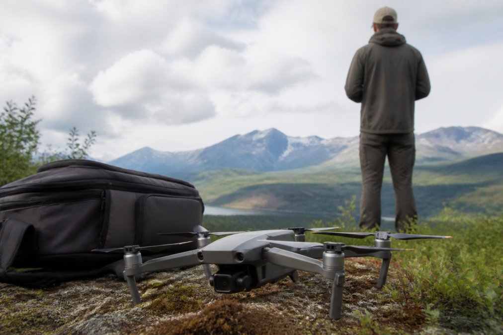
Conservation organizations face a critical problem: drone services promise efficiency but often deliver complexity, regulatory headaches, and costs that don't justify results. Many teams discover that drone services sound perfect in theory but hit unexpected walls in practice: regulatory approval timelines stretch for months, pilot expertise exceeds budget, weather windows shrink data collection, and footage often captures less actionable insight than proven field alternatives.
The alternatives excel where conservation drone services struggle: long-term monitoring, remote deployment, regulatory simplicity, and cost predictability. Understanding when to choose each method separates organizations that collect useful data from those that generate expensive footage nobody uses.
Camera Traps vs. Drone Survey: Which Delivers Real Data
Camera traps are motion-activated remote cameras that capture photographs or video when wildlife passes in front of the sensor, operating continuously without human presence or regulatory oversight.
The comparison reveals a fundamental trade-off: breadth versus depth. Drones capture wide geographic coverage in a single flight. Camera traps capture behavioral detail over extended periods. A drone survey identifies that animals use a valley. A camera trap reveals which species, at what times, in what weather conditions, and with what frequency.
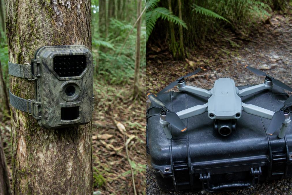
Camera traps excel at answering specific questions: Is the endangered species present? How many individuals visit this water source? Are predators active in this area? A single camera trap costs $150-$500. A drone flight requires FAA Part 107 certification, liability insurance, weather windows, and pilot fees. For organizations monitoring multiple sites, deploying fifty camera traps costs less than two drone flights and generates continuous data rather than single-moment snapshots.
Camera traps generate challenges: a single site can produce thousands of images, many containing no animals of interest. But AI-powered image recognition software now filters footage automatically, flagging target species and eliminating empty frames. Where camera traps fall short is landscape-level assessment, they cannot measure deforestation across a watershed or map invasive species spread.
Satellite Imagery for Habitat Mapping and Ecosystem Monitoring
Satellite imagery provides broad, high-resolution views of ecosystems across large geographic areas, enabling habitat mapping, land-use change detection, and environmental monitoring without deploying physical equipment on the ground.
Free satellite imagery from Sentinel-2 and Landsat provides 10-30 meter resolution, sufficient for detecting large habitat changes, deforestation, and wetland expansion. Commercial satellite providers offer 0.3-3 meter resolution, capturing smaller features like individual trees.
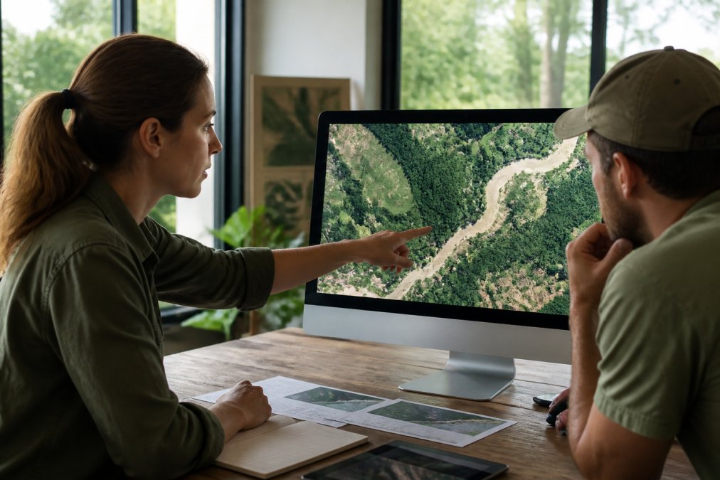
Satellite imagery solves problems ground-based monitoring cannot address efficiently. A conservation organization protecting a 50,000-acre watershed cannot deploy camera traps across every hectare. Comparing satellite images from 2020, 2023, and 2026 reveals forest loss, agricultural expansion, or wetland degradation across the entire area, guiding where to deploy ground-based monitoring tools.
Cost structure differs from drone surveys. Free satellite data requires no recurring fees, only analysis time. Commercial high-resolution imagery costs $3-$60 per square kilometer. For a 10,000-acre habitat assessment, high-resolution imagery might cost $750-$3,000, comparable to a single drone flight but capturing the entire area. Satellite imagery has limitations: cloud cover obscures imagery, particularly in tropical regions during wet seasons, and it shows landscape change but not behavioral data.
Wildlife Tracking Collars and GPS Monitoring Systems
Wildlife tracking collars attach to animals and transmit location data via GPS, VHF radio, or satellite technology, revealing individual movement patterns, migration routes, and habitat preferences with precision that no remote sensing technology can match.
Tracking collars answer a specific question: Where does this individual animal go? Data reveals movement patterns with timestamps, enabling researchers to understand habitat use, migration timing, seasonal movements, and responses to environmental changes. Basic VHF collars cost $145-$300 and transmit via radio frequency. GPS collars cost $1,000-$5,000 and store location data internally. Satellite collars cost $5,000-$60,000 and transmit via Iridium or Argos satellite networks, providing real-time location updates.
A drone survey shows landscape features. A tracking collar shows how animals actually use that landscape. The major limitation is invasiveness: capturing and collaring animals requires expertise, equipment, and regulatory permits. Collars also have battery limitations; GPS collars may operate one to five years before batteries deplete.
Environmental DNA Services for Biodiversity Detection
Environmental DNA (eDNA) analysis detects genetic material shed naturally by organisms into water, soil, or air, enabling species identification and biodiversity assessment without capturing or directly observing animals.
eDNA services work through a simple process: field teams collect water samples from streams, lakes, or wetlands. Laboratory analysis extracts DNA and identifies species present through genetic matching. A single water sample can reveal dozens of fish, amphibian, and mammal species that use that water source.
The advantage is profound: eDNA detects species without disturbance. A species present at low density might never appear on camera traps, but if that species uses the water source, its DNA will be present in samples. Detecting presence early enables rapid conservation response before populations decline further.
eDNA services require laboratory analysis, adding cost and turnaround time. Results indicate presence but not abundance; eDNA reveals that a species uses the habitat but not how many individuals or whether populations are stable or declining.
CALL Clear Focus Imaging TODAY →
Cost of Wildlife Monitoring Services: Manual vs. Automated Tech
Understanding monitoring costs requires comparing not just equipment expenses but total cost of ownership including deployment, operation, maintenance, and data analysis across the monitoring period.
Manual field surveys, where biologists hike through habitat to count animals or record observations, remain the baseline for comparison. A field team conducting weekly surveys across a 5,000-acre area requires two technicians working year-round. Automated monitoring technologies shift cost structure: initial equipment investment is higher, but ongoing operational costs are lower. A network of fifty camera traps costs $7,500-$25,000 for equipment, plus minimal ongoing expenses except batteries and maintenance.
Satellite imagery offers different economics. Free satellite data requires only analysis time. Commercial high-resolution imagery adds cost per image but typically costs less than equivalent drone survey flights. Acoustic monitoring networks cost $250-$500 per recorder plus data storage and analysis. A network of twenty recorders costs $5,000-$10,000 initially, then minimal ongoing expenses.
Most conservation organizations use multiple monitoring technologies simultaneously, each selected for specific questions. Cost-effectiveness depends on conservation objectives. Detecting presence of an endangered species in a specific location might cost $500 with eDNA sampling. Understanding population dynamics across a region over five years might cost $50,000-$100,000 with integrated monitoring but generate data guiding conservation strategy for a decade.
Acoustic Monitoring and IoT Sensor Networks for Real-Time Data
Acoustic monitoring systems deploy autonomous sound recorders across habitats to capture animal vocalizations and environmental soundscapes, creating continuous records of species activity patterns without human presence or disturbance.
These devices record bird calls, frog choruses, insect sounds, and mammal vocalizations. Analysis software identifies species-specific calls, creating activity records revealing which species are present, when they vocalize, and how activity patterns change seasonally. IoT sensor networks extend acoustic monitoring with environmental data, measuring temperature, humidity, rainfall, and soil moisture alongside acoustic recordings.
Acoustic monitoring excels for detecting species presence without disturbance. Unlike camera traps requiring visible animals, acoustic monitoring works for cryptic, nocturnal, and underground species. A stream recorder captures amphibian vocalizations indicating breeding activity and population status. The limitation is that acoustic data measures presence and activity timing but not abundance or population structure.
A network of twenty recorders costs $5,000-$10,000 initially. Monthly data storage and analysis costs range from $200-$500. Over five years, total costs remain substantially lower than equivalent field survey teams while generating continuous data. IoT sensor networks enable predictive monitoring, with real-time data alerting conservation teams to environmental changes or species activity patterns requiring immediate response.
How to Choose the Right Alternative for Your Conservation Goals
Selecting among conservation drone services alternatives requires matching monitoring technology to specific conservation questions, budget constraints, and operational realities.
Start by defining your conservation question precisely. Are you detecting presence of a species? Documenting population size? Understanding movement patterns? Assessing habitat quality? Each question points toward different technologies. Presence detection suggests eDNA or camera traps. Movement patterns suggest tracking collars. Habitat quality suggests satellite imagery. Environmental change suggests acoustic or IoT monitoring.
Next, assess operational constraints. How remote is your study area? Are permits and regulatory approval feasible? What's your budget? How much technical expertise exists on your team? How long must monitoring continue? Consider data integration from the start. Most effective monitoring combines multiple technologies. Satellite imagery identifies priority areas. Camera traps confirm species presence. Acoustic sensors detect nocturnal activity. Tracking collars follow key individuals.
Test before committing to large deployment. Deploy a small pilot of your chosen technology. Learn the workflow. Identify problems. Refine your approach. Document your monitoring protocol thoroughly. Standardized methods enable comparison across years and sites.
| Monitoring Technology | Best For | Initial Cost | Ongoing Cost | Deployment Difficulty | Data Latency |
|---|---|---|---|---|---|
| Camera Traps | Presence, behavior, population structure | $7,500-$25,000 (50 units) | Low | Easy | Delayed (retrieval required) |
| Satellite Imagery | Landscape change, habitat mapping | $0-$3,000 (free to commercial) | Minimal | Easy | Delayed (cloud cover, archive lag) |
| Tracking Collars | Individual movement, migration | $5,000-$60,000 per animal | Moderate | Difficult (capture required) | Real-time (satellite collars) |
| eDNA Services | Species presence, biodiversity | $500-$2,000 per survey | Moderate | Easy | Delayed (lab analysis) |
| Acoustic Monitoring | Species activity, vocalizations | $5,000-$10,000 (20 units) | Moderate | Moderate | Near real-time |
| IoT Sensor Networks | Environmental conditions, activity patterns | $10,000-$25,000 | Moderate to High | Moderate | Real-time |
Conservation monitoring technology has matured beyond simple either-or choices. Organizations that excel at conservation decision-making combine multiple approaches, each selected for specific monitoring questions. Camera traps detect presence. Satellite imagery reveals landscape patterns. Acoustic sensors capture nocturnal activity. Tracking collars follow key individuals. This integrated approach generates comprehensive data that guides effective conservation strategy. Clear Focus Imaging specializes in professional aerial photography and videography for real estate, construction, agriculture, and inspections, delivering the high-quality visuals your projects need. When your conservation monitoring requires integrated solutions combining multiple technologies, our team can help you design and implement aerial components that work seamlessly with ground-based alternatives. Call Clear Focus Imaging today for a free consultation to discuss your conservation monitoring needs and how aerial documentation fits into your comprehensive strategy.
Frequently Asked Questions
What are the main limitations of using drones for wildlife conservation?
Drones struggle with dense vegetation, limited flight time in adverse weather, regulatory restrictions under FAA rules, and high operational costs. They also disturb sensitive wildlife and cannot monitor nocturnal species effectively without thermal imaging upgrades. For long-term population tracking or continuous monitoring, drones require frequent redeployment and data collection, making alternatives like camera traps or eDNA services more practical for sustained conservation efforts.
How do satellite imagery and remote sensing compare to drone surveys for habitat mapping?
Satellite imagery covers vast areas cost-effectively and provides historical data archives, but free options like Sentinel-2 offer only 10-meter resolution. Drones deliver 1-5 centimeter resolution for detailed site surveys but cover smaller areas. Satellite imagery excels at landscape-scale monitoring of deforestation and land-use change; drones are better for precise habitat feature mapping. Combining both approaches often yields the strongest habitat mapping results for conservation planning.
Are camera traps more cost-effective than drone services for wildlife monitoring?
Camera traps typically cost $150-$500 per unit upfront and require manual data retrieval, making them highly cost-effective for long-term species monitoring in fixed locations. Drone services involve higher per-mission costs but cover broader areas quickly. For stationary monitoring of elusive species or poaching detection, camera traps win on cost. For rapid habitat surveys or large-scale mapping, drones or satellite imagery may deliver better value despite higher upfront expense.
What FAA regulations apply to conservation drones?
The FAA requires Part 107 certification for commercial drone operations, including conservation surveys. Operators must maintain visual line of sight, fly below 400 feet, and avoid manned aircraft. Conservation drones may qualify for waivers in remote areas, but permits still apply. Environmental DNA services, camera traps, and satellite imagery avoid these regulatory hurdles entirely, making them attractive alternatives when FAA compliance becomes a barrier to data collection timelines or project budgets.
This article was written using GrandRanker
