Book Aerial Drone Photography: A How-To Guide
Table of Contents
- Understanding What You're Booking: Drone Photography Basics
- What to Expect From a Professional Aerial Photography Session
- FAA Part 107 Certified Drone Pilot Requirements and Compliance
- Drone Photography Pricing Guide and Budget Planning
- Drone Photography Session Duration and Scheduling
- Preparing Your Site and Creating an Aerial Photography Contract
- Common Mistakes to Avoid When Booking Your Session
- Conclusion
Last Updated: August 13, 2026
Understanding What You're Booking: Drone Photography Basics
When you book aerial drone photography, you're hiring a trained remote pilot to capture high-resolution visual assets from above. Professional aerial photography delivers 4K video, RAW image files, and post-processed deliverables for marketing, documentation, and client presentations.
An FAA Part 107 certified pilot has passed federal exams, carries liability insurance, and understands airspace regulations. They plan flight paths, manage weather constraints, and deliver usable content on schedule, separating a professional service from a gamble.
Most businesses pursue aerial photography for real estate listings, construction progress documentation, or agricultural crop assessments. Each use case demands different technical approaches: real estate prioritizes composition and lighting, construction prioritizes accuracy and consistency, and agriculture prioritizes spectral data. Understanding these differences shapes what you'll receive. Airborne Assets LLC works across all three sectors, delivering industry-specific deliverables each requires.

What to Expect From a Professional Aerial Photography Session
A professional session follows a structured process: the pilot arrives early, conducts a site survey, checks weather and airspace restrictions, and confirms the flight plan before launching.
Expect 20-45 minutes of active capture time depending on project scope. The pilot maintains line-of-sight control, monitors battery levels, and adjusts gimbal settings to match lighting. You'll see the live feed on a monitor, allowing real-time feedback if angles need adjustment.
Post-processing takes longer than flight time. Raw footage undergoes color grading, stabilization, and editing with typical turnaround of 3-7 business days for standard projects. Final deliverables include edited 4K video, high-resolution stills, and often a branded highlight reel.
Your aerial photography provider carries commercial drone insurance covering property damage and liability, protecting both parties. Ask for proof of coverage before booking.
Common deliverables include:
- 4K video files in multiple formats (ProRes, H.264, DCP)
- High-resolution still images in RAW and JPEG
- Color-corrected and stabilized final cuts
- Usage rights documentation and licensing agreements
- Optional drone vs. ground photography comparison shots
The session is non-invasive. The drone operates quietly at altitude while normal site activities continue. For real estate, agents and homeowners stay out of frame. For construction, crews keep working. The aerial perspective captures context without disrupting operations.
FAA Part 107 Certified Drone Pilot Requirements and Compliance
Federal law requires any commercial drone operation to use an FAA Part 107 certified remote pilot. Flying a drone for business purposes without certification violates federal regulations and creates liability exposure.
Part 107 certification means the pilot passed a written exam covering airspace rules, weather interpretation, emergency procedures, and safe operations. The FAA maintains a public registry of certified pilots you can verify directly on the FAA website.
Key compliance rules affecting your session:
The drone must stay within visual line-of-sight at all times. Altitude limits cap at 400 feet above ground level unless operating near obstacles. Flight operations occur during daylight hours, and the pilot cannot fly over people or moving vehicles unless specific waivers apply.
Airspace restrictions vary by location. Some areas require local air traffic control approval. A professional aerial photography provider checks airspace before scheduling and handles necessary approvals without added cost for routine operations.
Weather constraints are real. Wind speeds above 25 mph create safety risks. Rain, fog, and low visibility ground operations. Responsible pilots reschedule rather than compromise safety, communicating concerns 24-48 hours before your shoot.
Insurance requirements depend on location and project type. Most commercial operations require minimum coverage limits. Airborne Assets LLC carries comprehensive commercial drone insurance protecting both operator and client. Request proof of current coverage with your booking confirmation.
Drone Photography Pricing Guide and Budget Planning
Pricing depends on project scope, site complexity, turnaround time, and deliverable specifications. Real estate shoots cost less than construction surveys, which cost less than agricultural inspections requiring specialized equipment.
Factors affecting pricing include:
Travel distance from the operator's base. Remote sites cost more due to travel time and logistics. Site accessibility and safety requirements add complexity. Turnaround time for deliverables, rush orders cost more. Editing and post-processing scope. Licensing and usage rights, exclusive or extended rights cost more than standard commercial licenses.
For accurate pricing on your specific project, contact Airborne Assets LLC directly for a consultation. The team assesses your exact needs and provides transparent quotes.
Comparing aerial drone photography to ground photography on price alone misses the value proposition. Aerial perspective captures property context, construction progress, and site conditions that ground photography cannot show. Real estate agents report faster sales and higher offers with aerial views. Construction managers document progress more efficiently with consistent aerial documentation. Agricultural operators make better crop decisions with aerial health assessments. ROI often justifies investment within the first application.
Budget planning should account for your specific outcome. Real estate agents doing 20 listings annually benefit from package arrangements costing less per project. Construction companies with 3-4 projects annually may prefer per-project rates. Discuss volume discounts during consultation.
Drone Photography Session Duration and Scheduling
A typical capture session runs 30-45 minutes of active drone time, though total on-site time is longer.
Realistic timeline:
Setup and site assessment takes 15-30 minutes. Battery preparation and pre-flight checks add 10-15 minutes. Active flight time for capture is 20-45 minutes depending on coverage needs. Landing and equipment shutdown takes 10 minutes. Total on-site time typically ranges from 90 minutes to 2.5 hours for a standard shoot.
CALL Clear Focus Imaging TODAY →
Weather windows drive availability. Early morning and late afternoon often provide better lighting. Weekday shoots may book faster than weekends. Seasonal factors affect scheduling for real estate (spring and fall are busy), construction (year-round), and agriculture (specific growing seasons).
Expect 3-7 business days for final deliverables. Rush processing adds cost but compresses timelines to 24-48 hours for critical deadlines. Airborne Assets LLC prioritizes scheduling to match your business needs while maintaining quality.
Booking in advance ensures your preferred date and time. Most operators require 5-7 days notice for standard scheduling. Cancellation policies typically allow free rescheduling with 48 hours notice due to weather or unforeseen circumstances.
Real estate agents planning seasonal listings benefit from booking multiple sessions at once for better scheduling flexibility and package pricing. Construction companies with ongoing documentation benefit from recurring monthly or quarterly schedules. Agricultural operations align booking with crop cycles and seasonal monitoring.
Preparing Your Site and Creating an Aerial Photography Contract
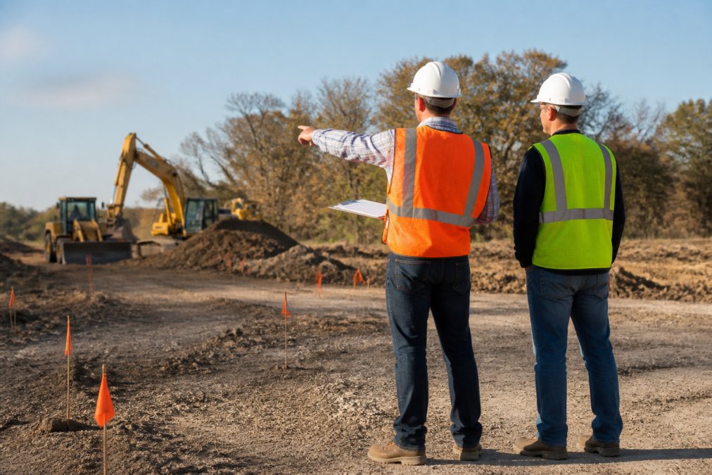
Site preparation directly impacts aerial drone photography quality. Walking the property before your session and identifying hazards, planning angles, and removing obstacles prevents problems during flight.
Pre-flight site assessment checklist:
Mark power lines, utility poles, or communication towers that might interfere with flight paths. Identify tall structures, trees, or terrain features affecting altitude planning. Note restricted areas where the drone cannot operate. Remove parked vehicles, equipment, or debris from areas where shadows or clutter would appear in footage. Confirm people or animals won't wander into the flight zone. Communicate specific areas to emphasize and areas to avoid. Discuss lighting preferences.
Weather and environmental constraints deserve special attention. Wind speed is the primary factor, gusts above 25 mph create control challenges. Rain or heavy moisture grounds operations. Extreme temperatures affect battery performance. A professional pilot will assess conditions and recommend rescheduling if safety is compromised.
An aerial photography contract protects both parties and clarifies expectations. Key elements include:
Scope of work: specific locations, number of flights, expected duration, and deliverable specifications. Pricing and payment terms: total cost, payment schedule, and any rush fees. Deliverables: file formats, resolution, color grading scope, and revision limits. Licensing and usage rights: whether footage is exclusive or the operator retains portfolio rights. Insurance and liability: confirmation of coverage and damage responsibility. Weather and rescheduling: how weather cancellations are handled. Confidentiality: whether images can be used for marketing. Timeline: deliverable dates and rush options.
Usage rights and copyright ownership matter significantly. Professional contracts should specify whether you receive exclusive rights or if the operator can showcase work publicly. Exclusive rights cost more but prevent footage from appearing elsewhere. Non-exclusive arrangements save money but allow public portfolio use.
A written contract prevents misunderstandings. Airborne Assets LLC provides clear contracts specifying exactly what you're getting, when you'll receive it, and what happens if circumstances change.
Common Mistakes to Avoid When Booking Your Session
The biggest mistake is booking the cheapest option without verifying credentials. A pilot without FAA Part 107 certification creates legal exposure. Insurance coverage matters, a crash becomes your liability if the operator isn't insured. Verify credentials and insurance before committing.
Vague project requirements create disappointing results. "Get some aerial shots" is too general. Specific requests work better: "Show the full property footprint, emphasize the pool area, capture the front entrance from the southwest angle." Detailed vision helps the pilot deliver better results.
Unrealistic turnaround expectations cause stress. Expecting edited 4K footage 24 hours after a complex survey is unrealistic. Professional post-processing requires days. Rush orders cost more for good reason.
Scheduling during poor weather windows wastes money. Winter conditions, monsoon seasons, or hurricane season create challenges. Spring and fall typically offer better flying conditions, increasing success chances and reducing rescheduling risk.
Failing to prepare the site leads to wasted flight time. Parked cars, equipment, or people in the frame require reshoots. A 15-minute site walk-through prevents this.
Underestimating aerial perspective value leads to poor investment decisions. Real estate listings with aerial views sell faster and command higher prices. Construction documentation with consistent aerial progress shots simplifies tracking. Agricultural assessments improve crop management decisions. These outcomes have measurable financial value. Budget based on the outcome you need, not just upfront cost.
Ignoring licensing and usage rights creates problems later. If you need exclusive rights for competitive reasons, specify that in your contract. If portfolio use is acceptable, non-exclusive arrangements save money. Clarify this before booking to avoid disputes.
Booking aerial drone photography requires understanding what you're purchasing, verifying credentials, and preparing your site properly. A professional FAA Part 107 certified pilot from Airborne Assets LLC brings expertise in flight regulations, equipment operation, and post-processing that transforms raw footage into deliverables impressing customers and prospects. The team specializes in real estate, construction, agriculture, and inspections, understanding the specific visual assets each industry needs. Contact Airborne Assets LLC for a free consultation to discuss your project scope, timeline, and budget. The conversation clarifies what's possible and sets expectations for a successful aerial photography session.
Frequently Asked Questions
Are drone photographers required to have FAA certification?
Yes. Any drone operator flying commercially must hold an FAA Part 107 remote pilot certificate. This certification requires passing a written exam, demonstrating knowledge of federal flight regulations, airspace rules, and safe operations. Verify your operator's credentials before booking, it's a legal requirement and a sign of professionalism. Unlicensed operators expose you to liability and potential fines.
How much does it cost to hire a drone photographer?
Pricing depends on project scope, location, flight complexity, and post-processing requirements. Real estate shoots typically cost less than industrial inspections or multi-day construction documentation. Request a custom quote based on your specific needs, most professional operators offer free consultations to discuss your project and provide accurate pricing without obligation.
How far in advance should I book an aerial photography session?
Book at least 2-4 weeks ahead for standard projects. Busy seasons (spring and summer) may require longer lead times. Weather-dependent shoots should be scheduled with flexibility, operators need buffer days for wind, clouds, or precipitation. Discuss turnaround time for edited deliverables when you book; professional post-processing typically takes 5-10 business days.
What weather conditions prevent drone photography?
Wind speeds above 25 mph, heavy rain, fog, or low cloud cover make safe flight impossible. Extreme heat can also damage equipment. Your operator will monitor forecasts and communicate cancellations or rescheduling as needed. Early morning and late afternoon often offer the best light and calmest conditions. Always build weather contingency into your timeline.
This article was written using GrandRanker
